 |
||||||
|
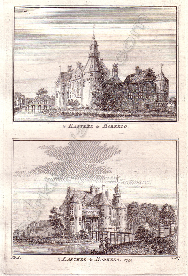
't Kasteel te Borkelo - 1743
This original old antique print / plate / view originates from a Dutch book of town and city views called: 'Het verheerlykt Nederland of Kabinet van hedendaagsche gezigten', Amsterdam, 1746 edition. The exact dates the plates were engraved vary. Artists and Engravers: Hendrik Spilman (Dutch 1721-1784): Engraver and designer of mostly town and city views. Isaac Tirion (1705-1769) was a successful dutch publisher in Amsterdam who produced extensive volumes of Dutch town plans as well as a number of atlases with maps usually based on those of G. Delisle. His most well known atlas is 'Nieuwe en beknopte hand-atlas.' Borculo began as a settlement near where, at the time, the Berkel joined a smaller stream called the Grolse Slinge.[1] In the 12th century a castle called the Hof van Borculo was built. A defensive wall surrounding the village was constructed in 1348. The village received city rights in 1375. The city wall is demolished, but parts of the defensive moat which was also used as a trading route over the Berkel to the city's along the Berkel (such as Zutphen), can still be found in Borculo.
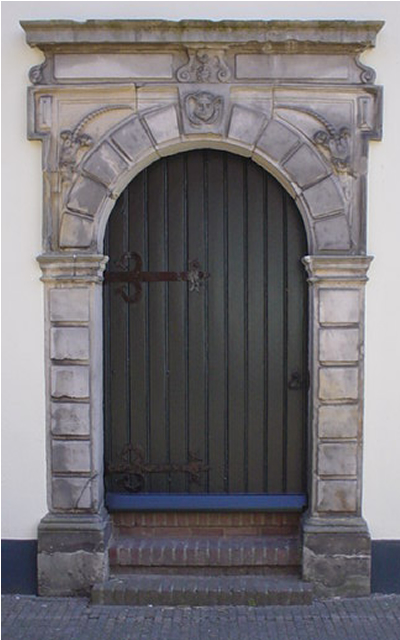
For more on the History of Het Hof Borculo - "Click Here".
References
|
||||||
|